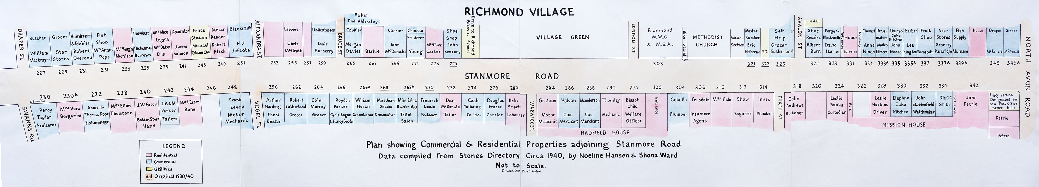
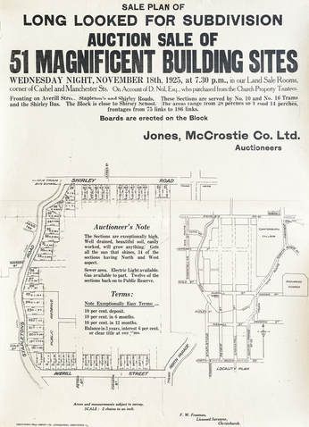
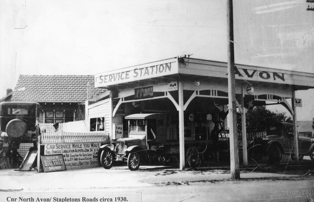
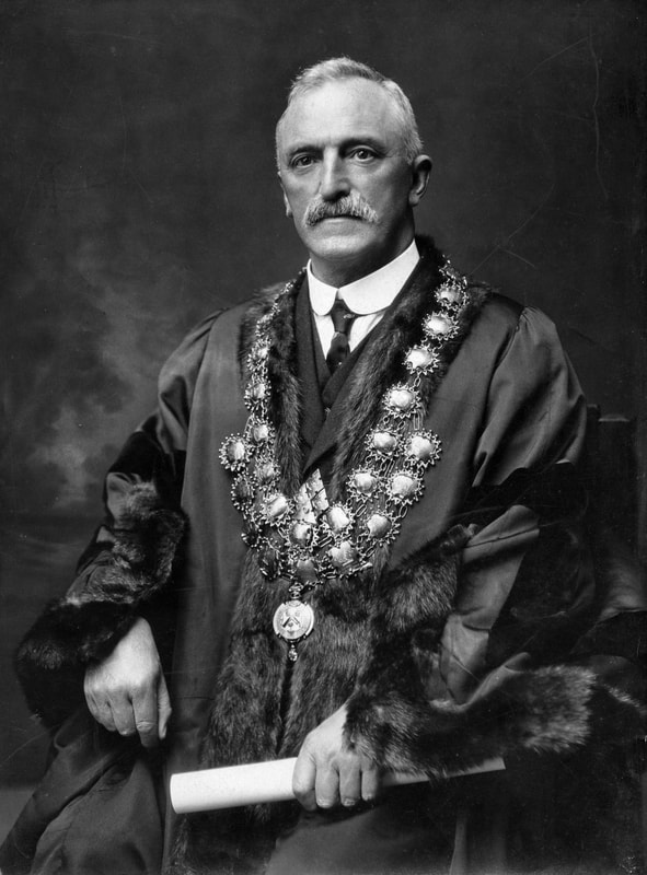
Richmond History Group
The Richmond History Group is based at Avebury House. The group maintains a collection of books, photographs and other memorabilia illustrating and recording the history of Avebury House and the development of the surrounding suburb of Richmond. We seek to expand the collection and have begun a project to digitise items from the collection and make them available online. This is a work-in-progress and we will be adding items to this site from now on.
If you have photographs or other material concerning Richmond’s past, we would love to hear from you. Perhaps you would like to donate items to the collection, or allow us to view the material and if suitable, borrow items for recording and adding to our digital archive. We would of course return the items to you in the same condition as we received them.
If you would like to learn more about the group, or become involved, please contact Andrea at 381-6615.
 RSS Feed